Around Glacier Peak in 3 Days - With Route Guide

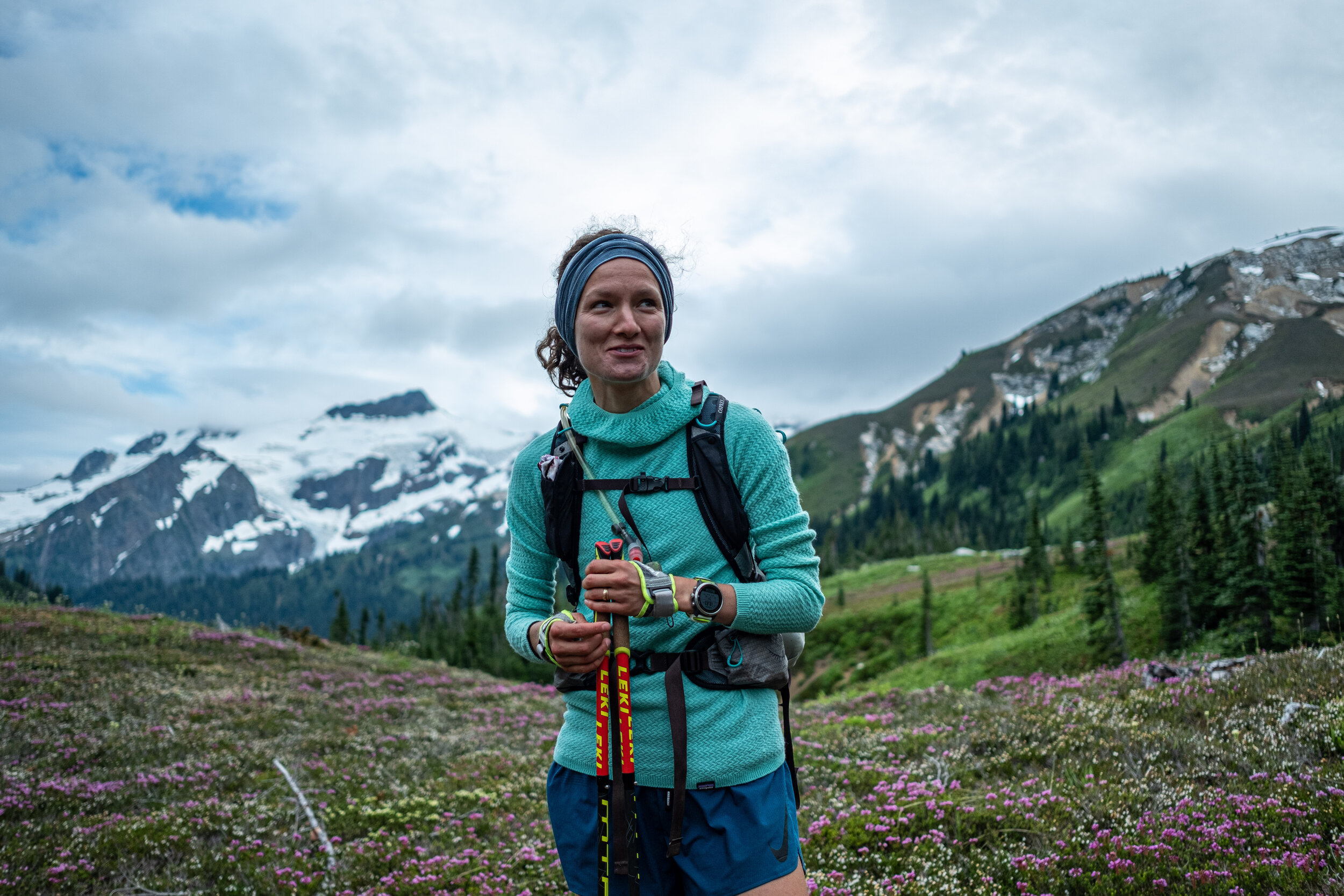
Rockin’ the Alpine. Rachel and Tyler at High Pass - Day 1 of the Glacier Peak Circumnavigation
Dakobed, Takobia, Glacier Peak. The most remote of the Cascade Volcanoes. Enormous glacial valleys, never ending fields of wildflowers, berry stained fingers.
The Glacier Peak circumnavigation has all the elements I love about a big mountain adventure. An uncertain route, bushwhacking, some low-grade scrambling, incredible vistas, and a remote feel.
I first drew up a route around Glacier Peak in 2017. Fires that year stopped me from taking a crack at it, but it’s been on my mind ever since.
This year, I’ve been working to combine my passion for running with my love of backpacking. When Rachel and Tyler were free for a weekend adventure, I thought Glacier Peak would be just the place to test our fastpacking chops.

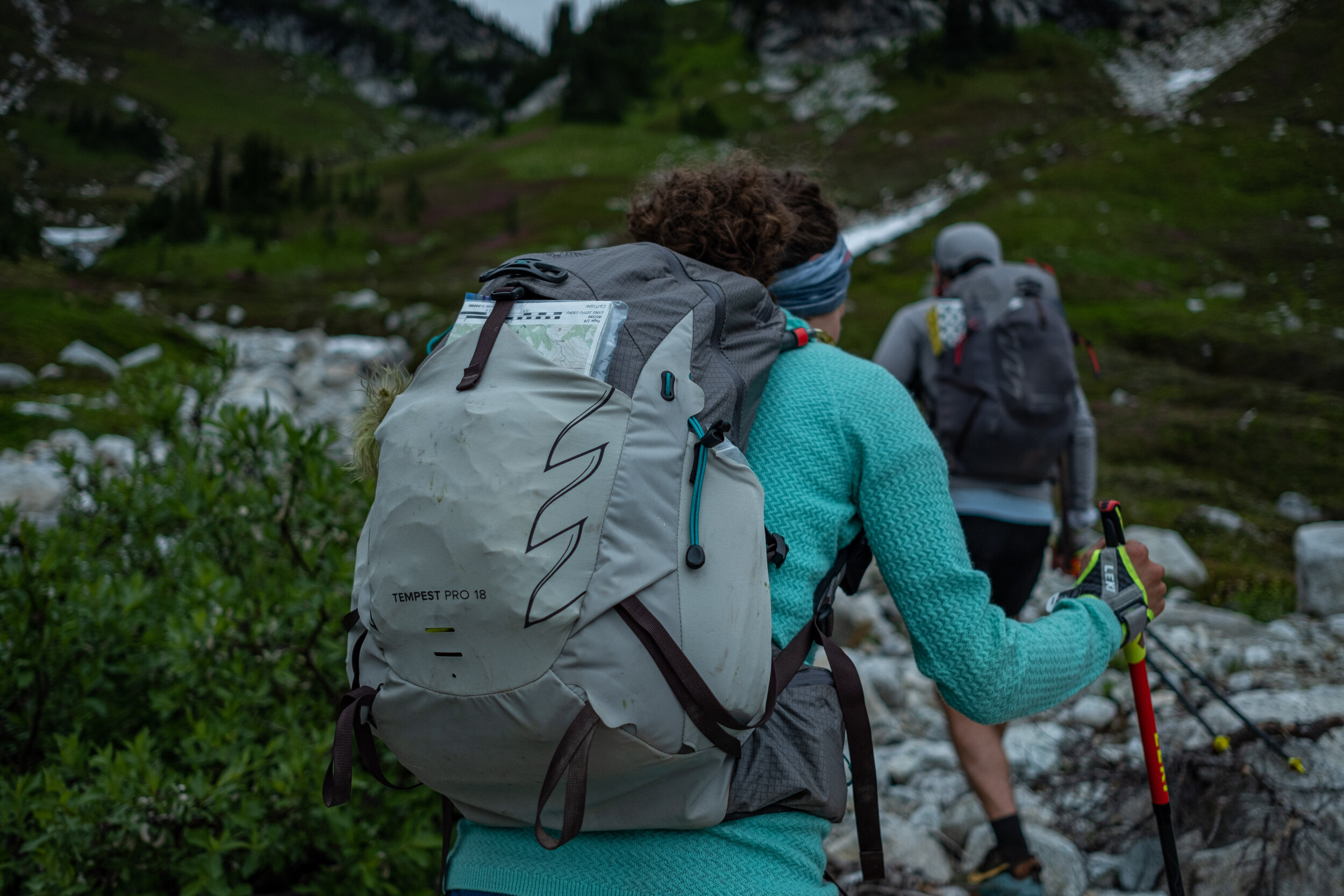
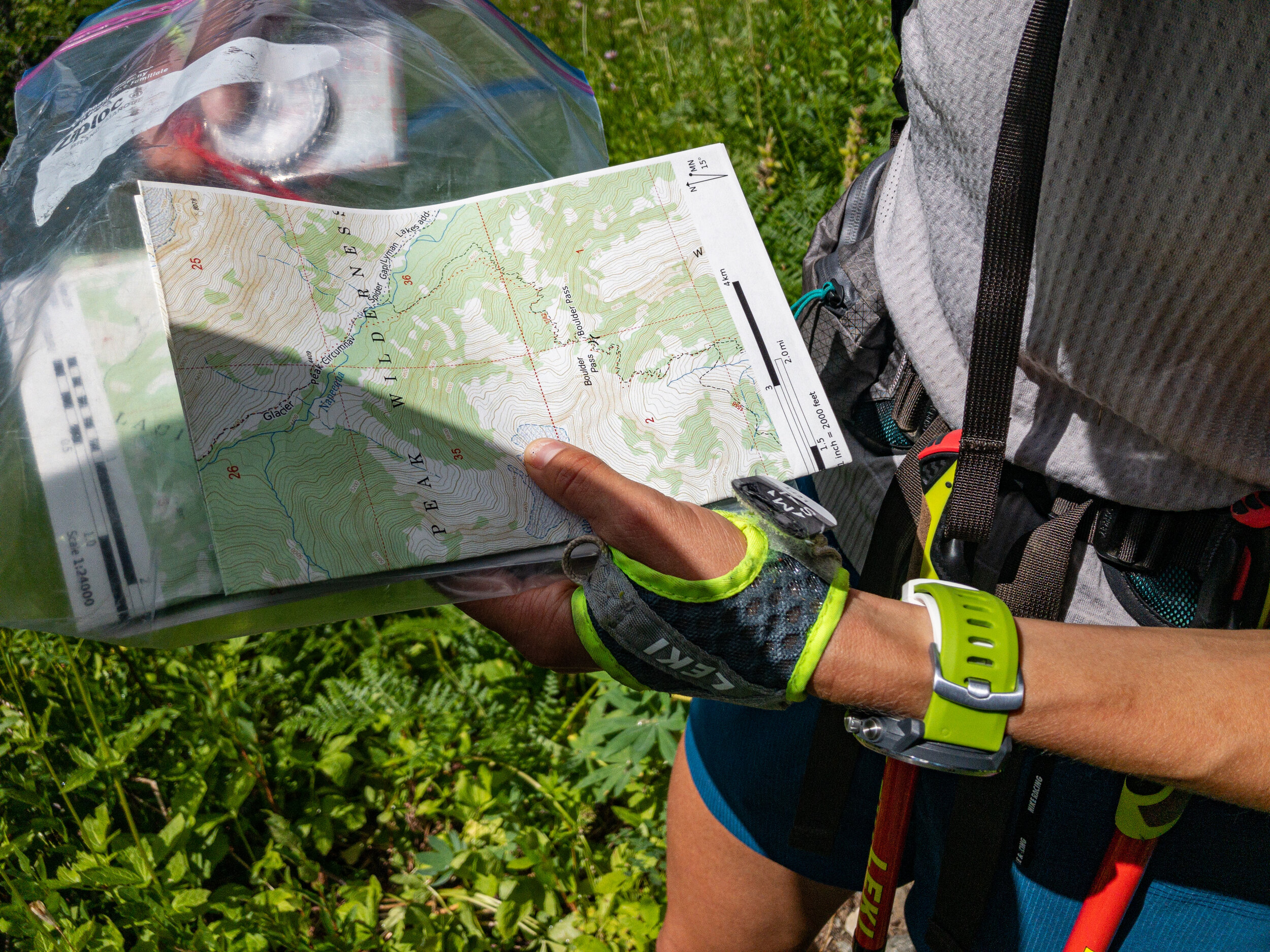
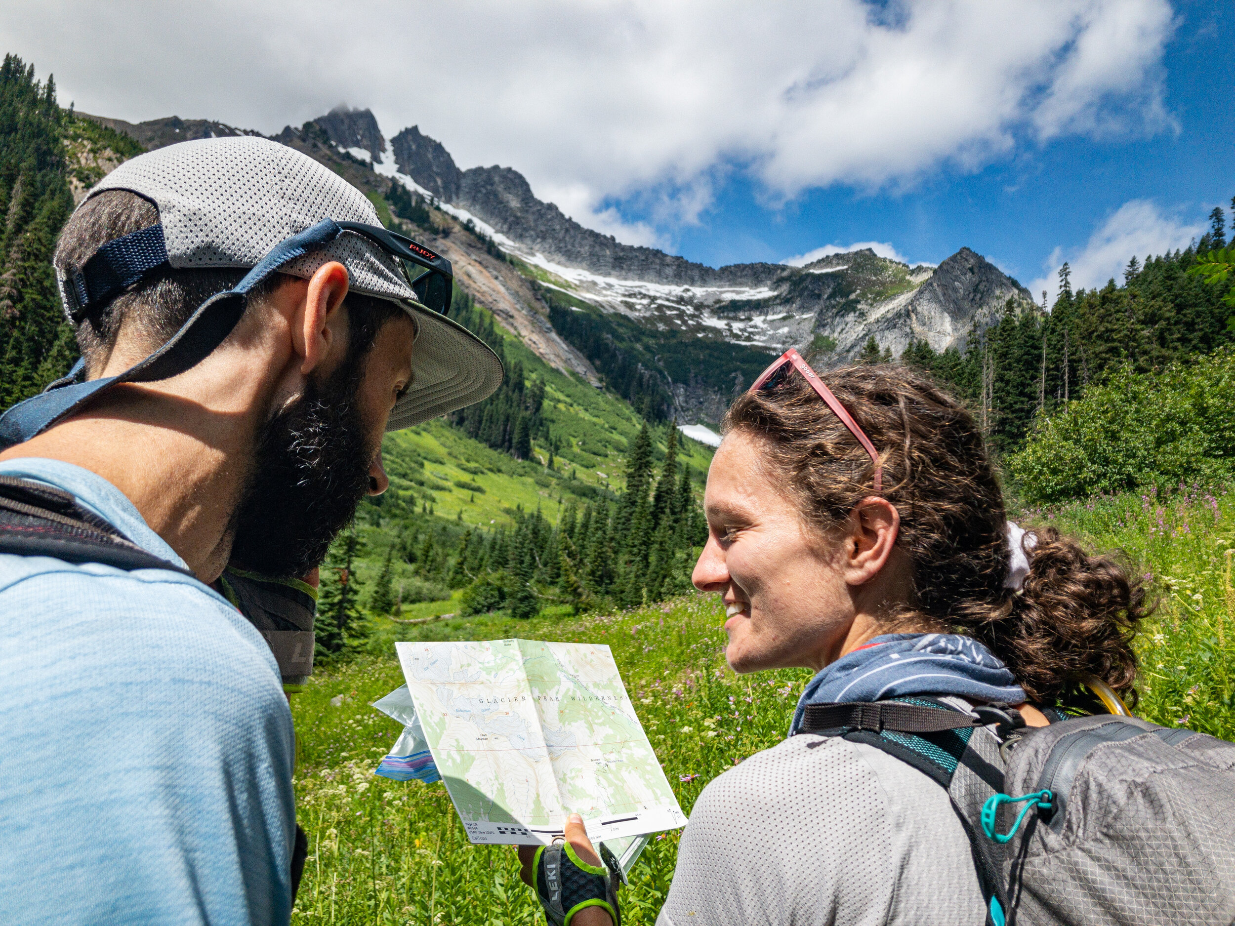

Navigating with a custom mapset created in Caltopo.
I’ve come to really enjoy the process of route planning. For years, Caltopo.com has been my tool of choice for researching, planning, and storing route information.
Before the trip, I researched trip reports online and played with connecting different trails and passes.
The day before we left, I printed off two sets of 1:24,000 scale maps for Rachel, Tyler and I to use in the field.


High Pass - Day 1, Mile 15

Route Guide: Glacier Peak Circumnavigation
Key Stats
85 miles
24,000’ vertical climb/descent
3 days (as completed)
There are a number of possible trail combinations to circumnavigate glacier peak. We opted for trails for the majority of the route with a few short sections of off-trail travel. Of these off-trail sections, most had some type of established user trail.
Warning: While most of the route is established trails or unmaintained user trails, blowdown, rough trail, and thick bush are common. Be familiar with the route, plot your course carefully, carry backup maps, and have a plan should you be forced to turn around.

Trails and Passes
White River Trailhead - Boulder Creek Trail
Boulder Creek Trail - Boulder Pass
Napeequa River Upstream - Unnamed drainage
Unnamed drainage - High Pass
High Pass - Buck Creek Pass
(Steep Snow in Late Summer)Buck Creek Trail - PCT
PCT - Indian Pass
(Thru Fire Creek Pass, Red Pass, White Pass)Indian Creek Trail - White River Trail
(Mega bush)
Notes:
Unnamed drainage below High Pass has a good user trail, but it’s tricky to find
Indian Creek Trail - Prepare to embrace the bush. Not for those easily dissuaded by thorns, branches, bush and brambles.
White River Trail does not exist beyond Boulder Creek Trail (per conversation with Forest Rangers at the trailhead) so White River is not a viable alternate to Indian Creek.

Navigation Tools
Tools Used:
1:24,000 Technical Mapset
Compass with adjustable declination
Caltopo and Gaia GPS apps
Technical Mapset PDF & GPX File
Download a complete technical mapset & GPX file for the Glacier Peak Circumnavigation by entering your email below:

Technical Mapset - Photo Steven Mortinson

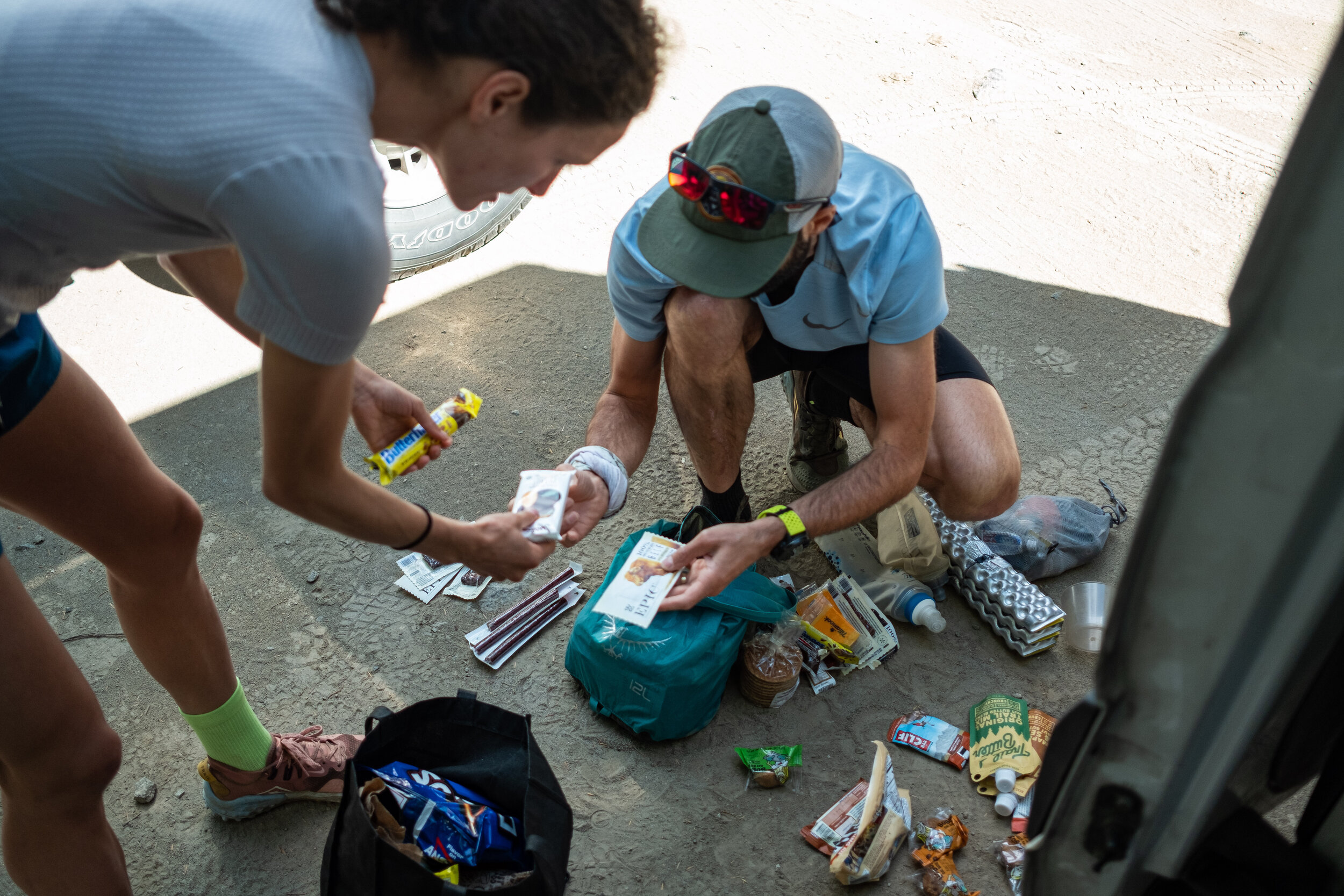
Meal Prep


Climb to Fire Creek Pass - Day 2, Mile 50

Glacier Peak from the Climb to Red Pass - Day 3, Mile 65

White Pass and the Last of the Alpine

Indian Pass, Battle of the Bush Begins - Day 3, Mile 72
Some of my fondest memories of being in the mountains are of long through-routes. The simple rhythm of the trail takes over, day-to-day static falls away, and you get to be present with the place and the people your with.
While the Glacier Peak circumnav isn’t long by through-hike standards, it had many of those elements. I think it strikes a good balance between fast travel on established trails and more interesting route-finding on unmaintained trails and off-trail.
We completed the Glacier Peak circumnav door-door from Portland in three days. While I thought fastpacking was a really fun way to explore this remote route, there’s plenty of exploring to keep you busy for a lot longer.
This route is remote and will reward the effort you put into planning and prep. Do your due-diligence, have a backup plan, and be careful with navigation and you’ll have a great time.
If you give it a shot - let me know how it goes.
Questions or feedback? Leave a note in the comments!

Keep Learning
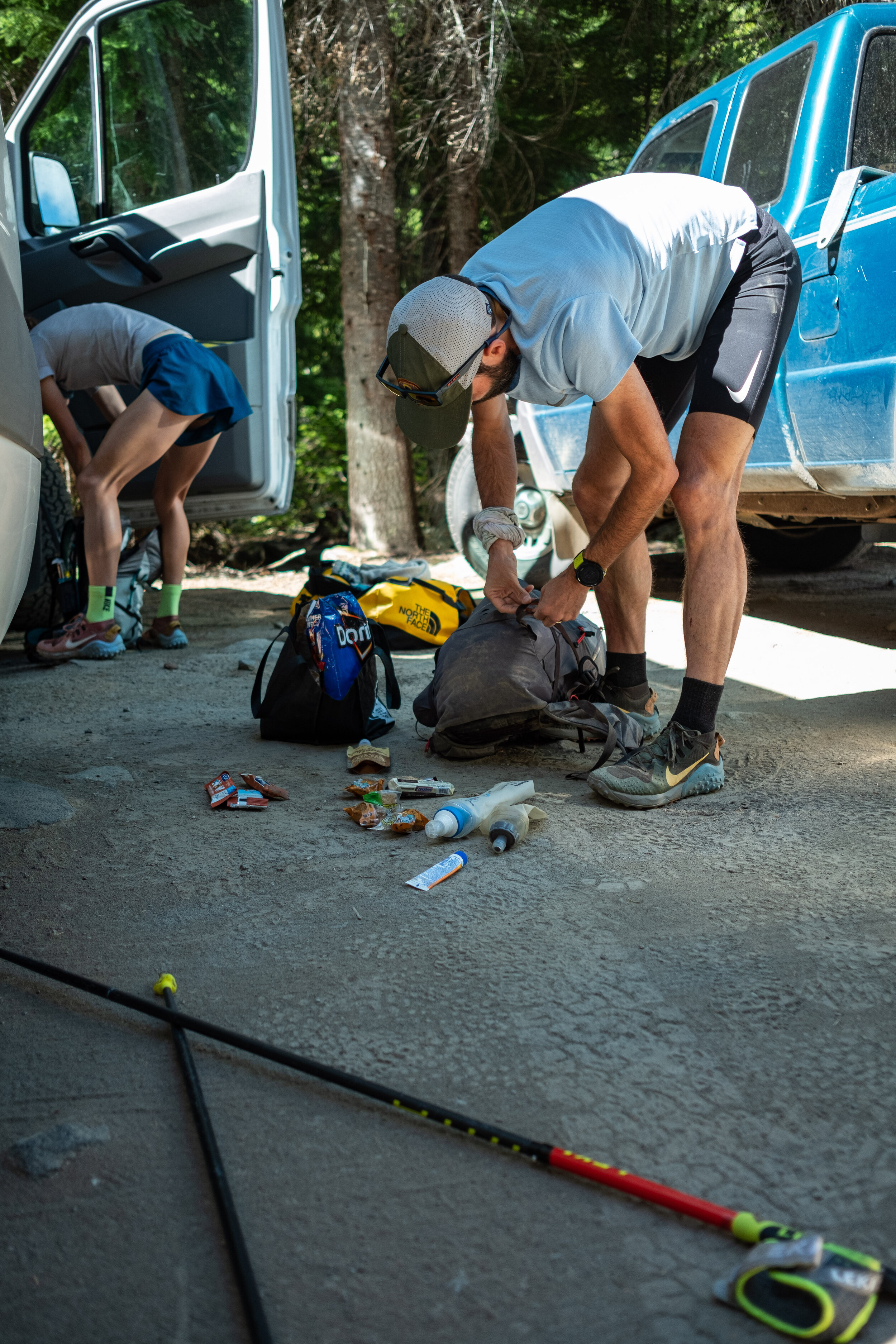
Gear
Full Writeup here:
Gear: Fastpacking Kit

Food
To plan backpacking meals I use:
How-To: 5 Easy Tips for Backpacking Meal Planning
